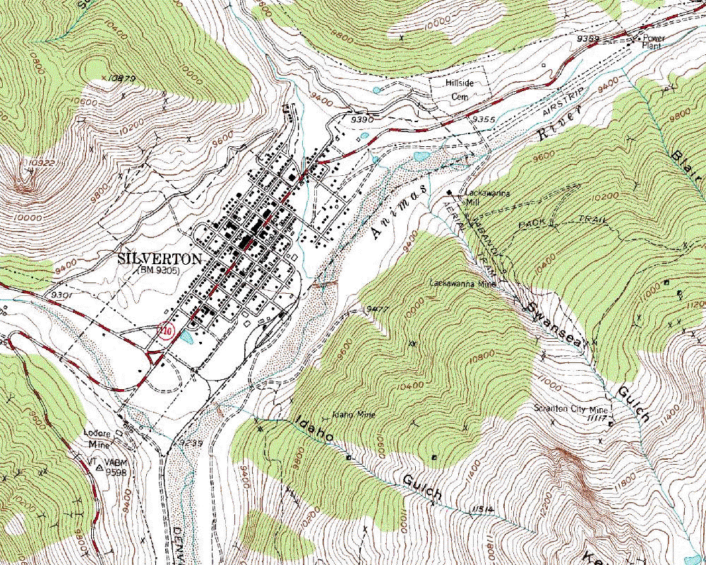
Silverton
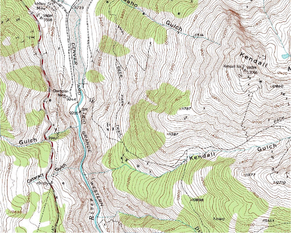
Idaho Gulch, Kendall Gulch
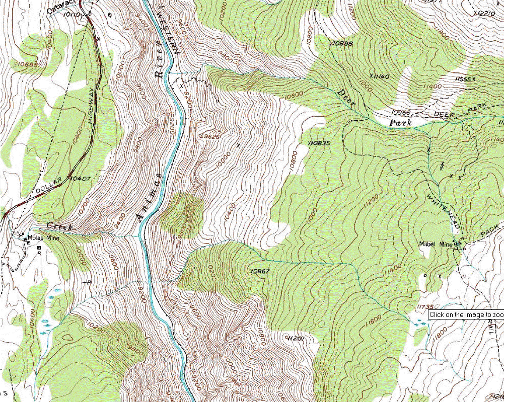
Deer Park
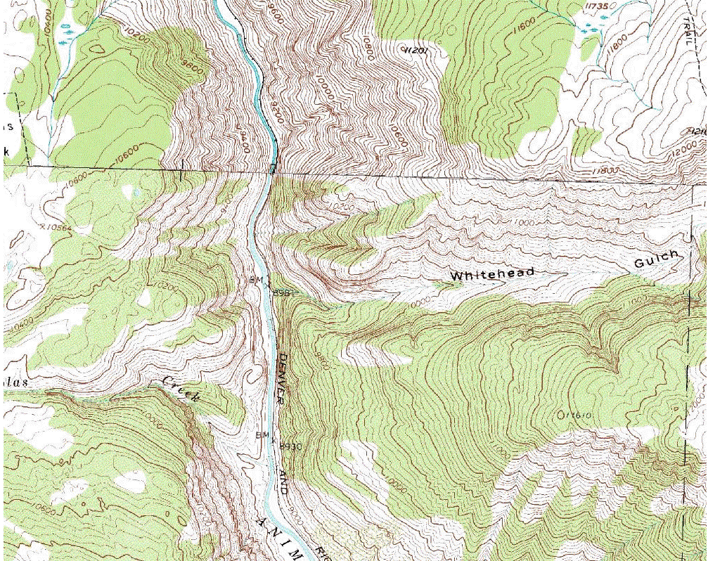
Whitehead Gulch, Molas Creek
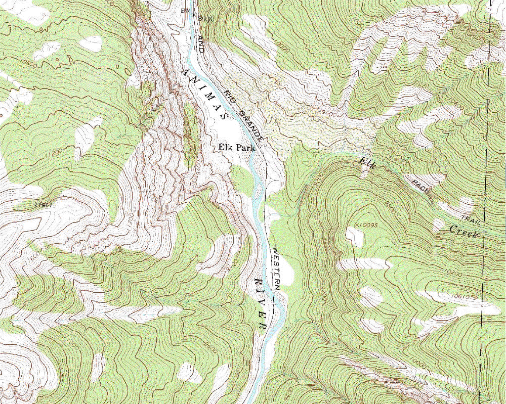
Elk Park
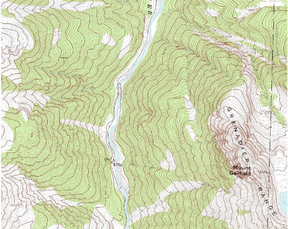
Mount Garfield
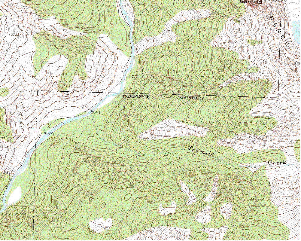
Tenmile Creek
Noname
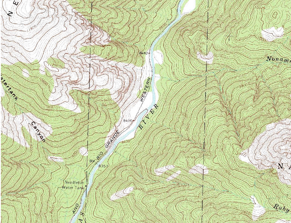
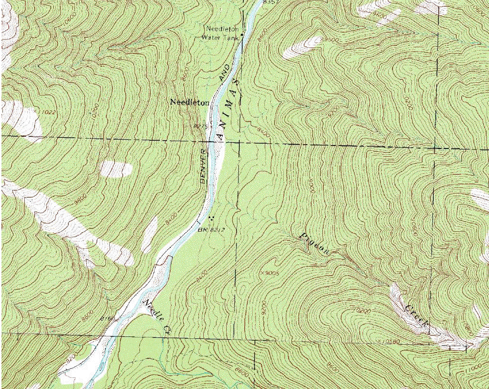
Needleton
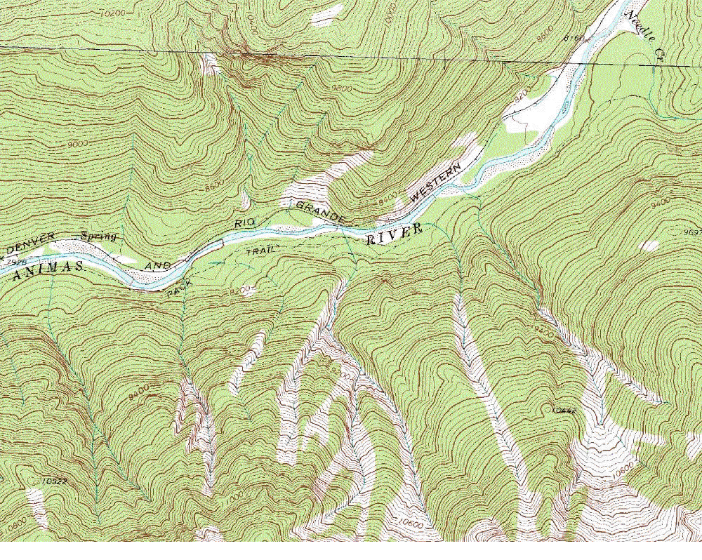
Needle Creek
West Needles
Cascade
Grasshopper Creek
Tank Creek
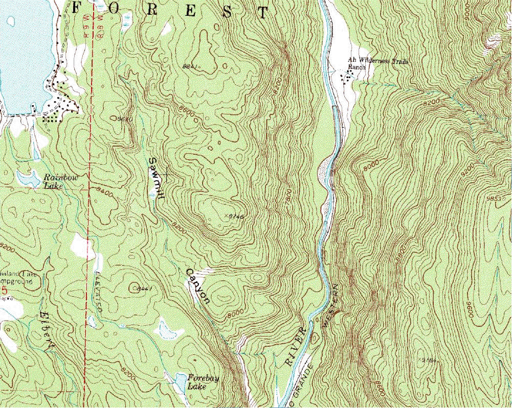
Ah Wilderness Trails Ranch
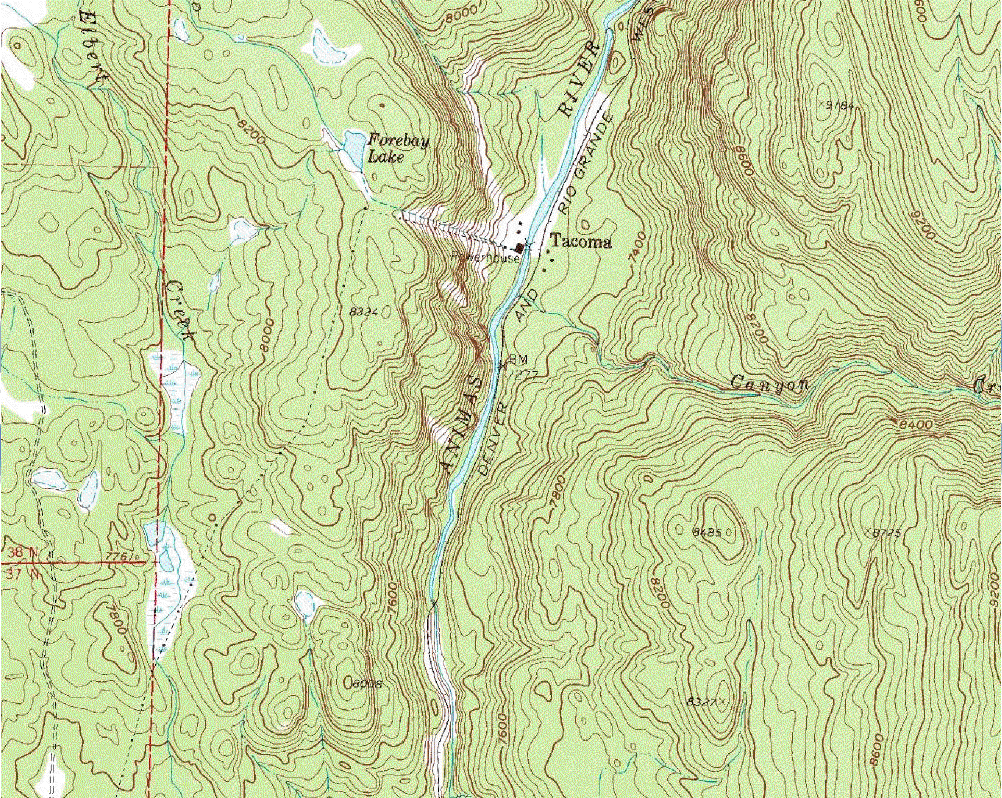
Tacoma
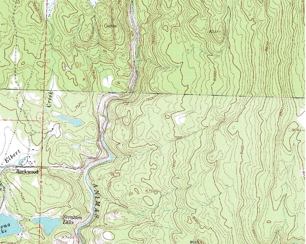
Rockwood
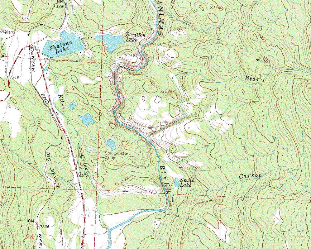
Rockwood Gorge
Smelters
Rapid (Durango)
River flow - Durango
- Silverton vs. Durango
Unknown mountains 1
Use the menu on the left to jump to a place on the
map.
On
the map, click on the ![]() icons
for aerial photos and the
icons
for aerial photos and the ![]() icons
for river-level photos. The photo location and
direction indicated by the
icons are approximate.
icons
for river-level photos. The photo location and
direction indicated by the
icons are approximate.
Click anywhere on the map to return to this menu.
Or scroll the map using the scroll bars.
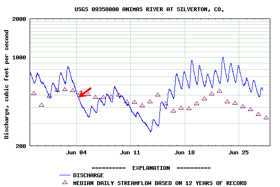
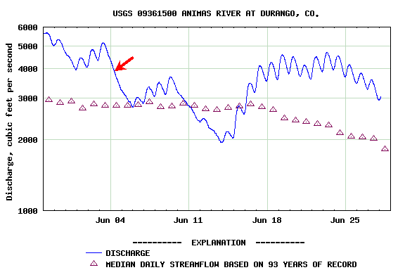
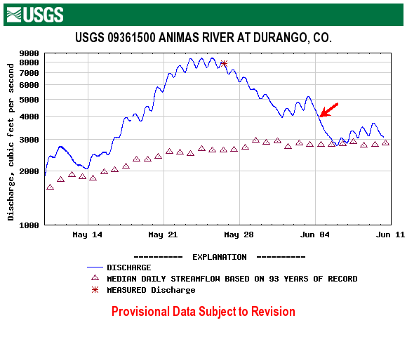
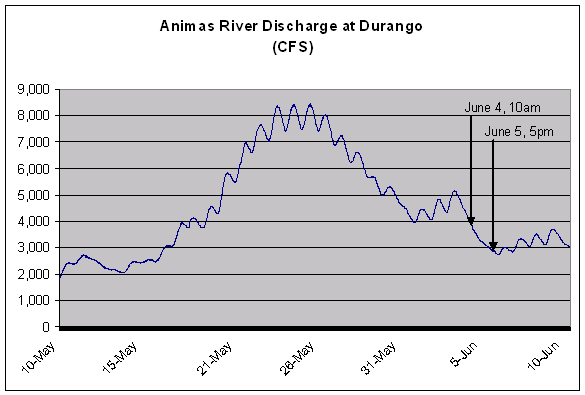
The following shows the Animas River flow during the
2005 runoff season. The aerial photos were
taken on June 4 at 10am (red arrow). Top
Here is the graph on a non-logarithmic scale
This shows the flow at Silverton compared to the flow at Durango. During the warm weather starting June 18, there was still plenty of snow in the highmountains north of Silverton, but the snow at lower elevations contributing to the late May and early June flooding in Durango was mostly gone. Top
