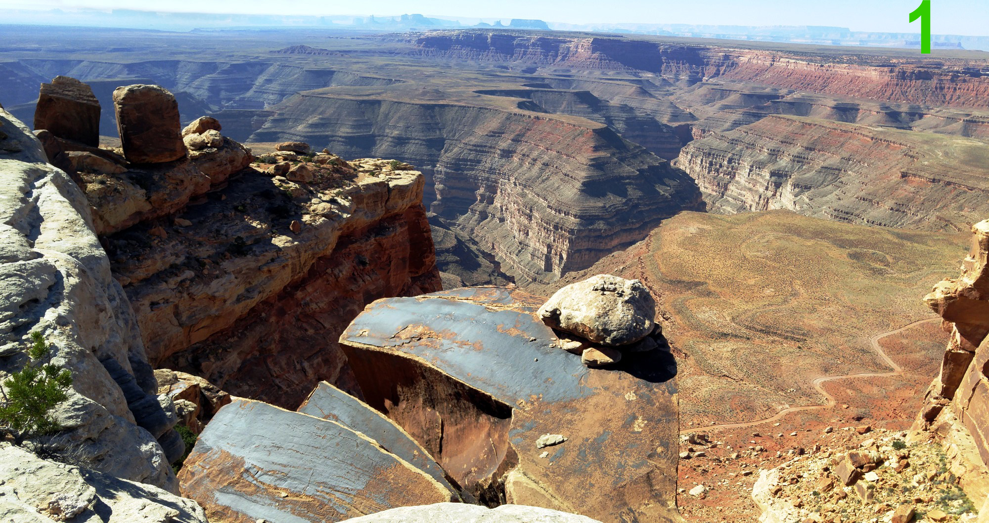
This is a view from the southern end of Cedar Mesa near Muley Point in southeastern Utah. At the bottom of the cliff 1,000 feet (300 m) below you can see the Johns Canyon Road following the ancient flood plain of the San Juan River. The present day river is well entrenched another 1,500 feet (460 m)lower in a series of deep meanders called the Goosenecks. The view continues to the south for 20 miles (32 km) past Davis Mesa to where the monoliths of Monument Valley punctuate the horizon.
The puzzle rock is in the foreground. How did it get there?
|